By default, every smartphone now has a GPS chip; it can receive GPS signals and be used like a GPS device for GPS location. The user benefits from many advantages; he can determine, use and forward his own position and current location. Conventional GPS receivers are also gaining more and more users, for example athletes, cyclists, drivers and hikers use the devices for navigation, and other GPS data such as routes can also be calculated and used. Exactly how tracking using GPS works and where it is used is explained below.
Accurate positioning using satellite signals

The term GPS stands for global positioning system , i.e. a system for determining position with a very high level of positioning accuracy . This technology can be used to locate objects and people . The GPS signal is received by a tracker and the calculation is then made based on the distance and position of the satellite. Satellites send their position and the current time in the form of radio waves to the receiver , which then converts the radio waves from the satellite and calculates the receiver’s current location.
There are currently 24 satellites in space that send out signals, they orbit and cannot change their position relative to the Earth; they do not use a geostationary orbit for this purpose. The satellite orbit used is at an altitude of around 20,000 kilometers.
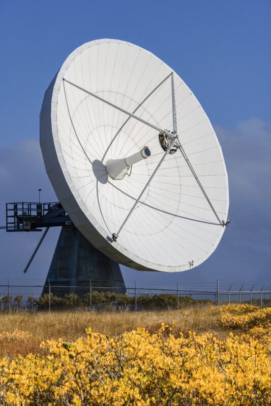
They communicate with ground stations that are located on the earth’s surface . In order to determine exact coordinates using GPS devices, at least four GPS satellites are required. The signals from GPS satellites can not only be received with an appropriate device, GPS reception with a smartphone, regardless of whether iOS or Android, is also possible.
Accuracy of position determination based on the signals sent
The accuracy of GPS depends on various factors. Since the GPS system communicates with a receiver on earth, a certain distance has to be covered. The distance from the satellite to the receiver is usually several thousand kilometers. With a clear view, a short signal transit time is possible, so an exact position calculation can be carried out with the help of satellites.
Origin
GPS, officially Navstar GPS , was originally developed for the US military, where it was used for warfare or to confuse the enemy. It was released for civilian use a few decades later and enabled all people to locate with an accuracy of around five to fifteen meters . This meant that the placed satellites were available to everyone; at the beginning, these were mainly used in vehicles, which made navigation easier. As technology developed, cell phones could also be used as transmitters. This made it possible for everyone worldwide to use navigation via GPS; the current location was then displayed on a small digital map, depending on the device.
Construction and deployment of a satellite
Satellites have at least one atomic clock, as the calculated time is an important prerequisite for correct position determination. Inside the satellite there is also a memory and a processor .
With the help of a launch vehicle, the satellite is then placed into the desired orbit; the included fuel is sufficient for this project and for any possible corrections to the position.
Use of GPS receivers
 GPS trackers from Salind can be used in a variety of ways in everyday life and are now indispensable. They are easy to use as no technical expertise is required. If you would like to test this technology on your cell phone first, you can download a corresponding app from the Google Play Store, but you can also use GPS applications that are already installed, such as Google Maps.
If a GPS tracker is used, it requires a SIM card with sufficient credit. This is used to send the determined GPS data to the connected device, e.g. a cell phone or tablet.
Due to its particularly small size, a GPS tracker can easily be stored in the car or in your own handbag and allows you to determine your location in real time.
In combination with your own cell phone, it becomes a fully functional navigation system , for example for walks or car rides.
These devices can calculate your own position and speed , so the distance and the estimated arrival time can be measured.
Aside from navigating the vehicle, it also helps the car owner protect the car from theft , the tracker is placed inside the car and responds to various circumstances. The user can easily adjust the alarm functions themselves within the associated app. This means the owner receives a message if the tracker is shaken or removed; in the event of theft, he has the opportunity to track the car in real time and report the position to the police.
The same applies to other valuables or vehicles, such as e-bikes or motorcycles. Athletes use the GPS chip in their own quartz watch to document their progress, and fitness watches also use the GPS system to record distances traveled.
Within families, GPS trackers can be used to accompany small children or older seniors in everyday life, which supports independence and makes family life easier .
Prerequisites and disruptive factors
To ensure smooth use, there are a few points to consider, as disruptive factors also affect the use of GPS . So if you want to use a global positioning system for tracking, you have to consider a few things in advance. In principle, a small deviation is always possible when calculating the location; interference signals also play a role; these are specifically switched to influence the accuracy of the determination.
Although GPS was released for use by civilians, the jamming signal was only switched off in May 2000, and since then the location determination has been much more precise.
A good view of the sky is also important, which means that the device is not in dense forests, valleys or in a basement. These factors can cause the received signal to become unclear due to reflections.
With the help of three satellites , only the position can be determined; for further information, contact with at least four satellites is always necessary. The more satellites, the more precise the measurement.
In addition to good visual contact, the interference signals mentioned can also be responsible for inaccuracy.
Due to various factors, the measurement is only accurate between five and fifteen meters. If you want higher accuracy , you have to rely on correction signals from correction services, for example DGPS . It is therefore possible to carry out corresponding corrections for each satellite; these correct the data of each measurement.