A GPS device or navigation system is not necessarily necessary for precise location determination and navigation; modern smartphones can be equipped with appropriate apps and make additional gadgets unnecessary.
Location determination with smartphones

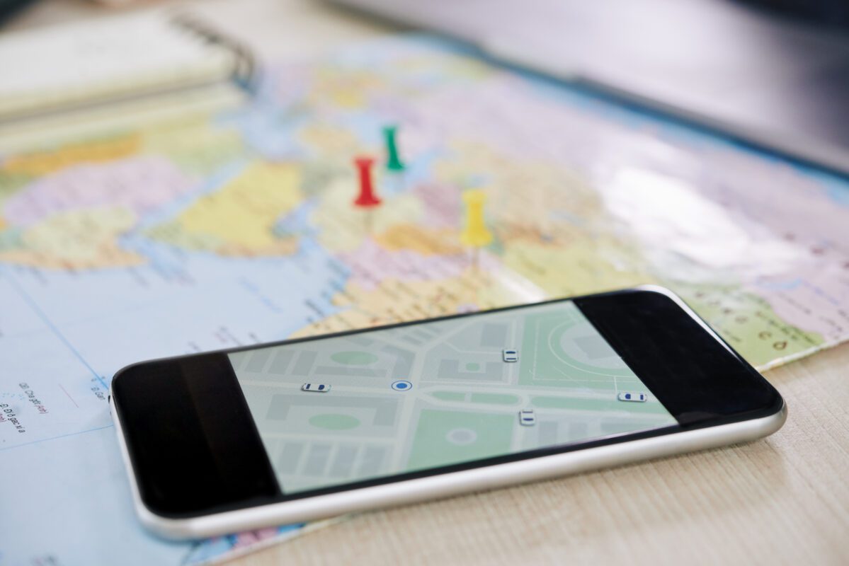
A standard smartphone can function as a GPS receiver , regardless of the operating system . Depending on the model and features, an additional app may be necessary on the cell phone, but some are already installed in advance and are an integral part. In principle, you can always access and share your current location with the provider Google , so distances between two places can also be calculated and displayed. Google Maps is a popular service for location and navigation with mobile phones.
As with all GPS-based devices, positioning with a mobile phone works with the global positioning system , a worldwide satellite-based positioning and navigation system. Every cell phone is equipped with this system and works with coordinates to determine and display a position, this is usually visualized on a map.
Determination of position via GPS
In order to determine the receiver’s GPS position correctly, a signal from at least three satellites is required, ideally even four. If the devices only receive data from three satellites , this is a two-dimensional positioning without height determination. Signals from four navigation satellites are required for three-dimensional position determination including height determination; this determination is very accurate to within a few centimeters. The more satellites, the more accurate the receiver’s GPS positioning is.
How the GPS system works
This series of satellites constantly sends unique signals, from which the receiver can calculate the current satellite position, distance to the earth’s surface, satellite orbit data and time . To do this, the GPS receiver compares this information with its own time reference and can thus determine an exact GPS position . This means that the current location of the receiver can be easily determined if it is near or on the surface of the earth .
Any positioning errors can be corrected by additional calculations by the GPS receiver, which also takes into account the positions of the satellites and their distances to the earth and to each other.

Navigation with GPS
In principle, navigation and position determination in all countries in the world are possible using these systems if the necessary circumstances are taken into account. To calculate the exact position and determine the coordinates , the best conditions are in the open air, as there is a clear view of as many satellites as possible, which ensures a high level of accuracy . In order to navigate from one place to another, one’s own location on the earth’s surface is first determined using GPS data; this is done using coordinates according to the Cartesian coordinate system . The cell phone serves as a receiver and evaluates these coordinates accordingly. Altitude, longitude and latitude can now be visualized in the corresponding app; they are used for navigation and determining one’s own position. It is also possible to specify a specific address; the receiving device then calculates the distances as well as the duration of the journey and its own speed.
Position determination in 3D
If the standard functions of the smartphone are not sufficient, you can upgrade with free or paid programs. Additional apps make it easier for athletes to navigate outdoors; a 3D view makes positioning easier to understand and supports hikes, bike tours or geocaching. This representation of your own location is particularly attractive because height differences and inclines can also be seen; depending on the application, additional functions can be used.