
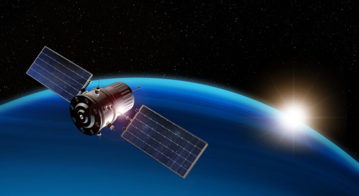
Meter-precise determination of location and position across the globe is possible with the help of satellite-based navigation systems and is used worldwide.
Global Navigation Satellite System is a collective term and describes various satellite navigation systems that can be applied and used worldwide. GNSS based systems access multiple satellite systems , providing receivers with the best signal.
How GNSS works
GNSS based systems work on the basis of radio codes. In order to receive and read these, the corresponding receiver must receive signals from at least four satellites at the same time. The position is then transmitted via radio with the exact time and position, provided that there is good visibility and an open sky.
The reference data from the satellites is regularly compared by the ground stations in order to always send accurate information.
It is possible to improve accuracy using stationary receiving stations , which transmit additional correction signals to the signal receiver. In this way, the position can sometimes be determined down to the centimeter.
Accuracy of measurements with GNSS
The position of the satellites constantly changes as they orbit the Earth, so the distance to the Earth’s surface always changes . The actual distance results from the signal transit time and the individual code of each individual satellite . Each satellite sends out its code regularly, from this information the exact distance can be precisely calculated and reproduced.
The calculated coordinates are based on the coordinate system used by the navigation system . The spatial coordinates can be used to define the exact geographical location, width and height. It should be noted here that coordination systems change and also differ from one another; deviations can certainly occur here. The mapping is constantly being adapted, but the individual sections of the earth are constantly evolving and often experience rapid changes , and a number of deviations can also occur here.
The accuracy of this receiver measurement improves when more than four satellite signals are received at the same time. Satellite-related errors can be corrected through positioning or time measurement in the system.
Various GNSS satellite navigation systems
In order to determine positions with a GPS navigation satellite system , various systems can be used.
Navstar GPS – Global Positioning System
Navstar GPS is a system of the United States of America, originally used by the military , but released for general use in the 1990s. The term Navstar is an abbreviation and an acronym for Navigation Signal Timing and Ranging. Navstar GPS from the USA is the most commonly used worldwide.
GLONASS
Glonass is the satellite-based positioning system from Russia and is operated by the Russian Ministry of Defense. The term Glonass is an abbreviation and also means global satellite navigation system , which was originally developed for use in the military sector. In the meantime, the Glonass system has been released for civil use and is often used in combination with other global satellite systems .
Galileo
Galileo is a global navigation satellite and timing system, or GNSS for short , operated by the European Union. The Galileo system from Europe is based on 28 satellites located in space. The available supplementary systems from other satellites make navigation more precise.
Beidou / Compass
Beidou / Compass is the global positioning system from China. It has been approved for use by civilians since 2022 and offers users measurement accuracy of up to a few meters. The term Beidou means Big Bear and describes the well-known constellation; it is also applicable all over the world .
Verschiedene GNSS Satellitennavigationssysteme
Um die Bestimmung von Positionen mit einem GPS-Navigationssatellitensystem durchzuführen, kann auf verschiedene Systeme zurückgegriffen werden.
Navstar GPS – Global Positioning System
Navstar GPS ist ein System der Vereinigten Staaten von Amerika, ursprünglich wurde es für das Militär verwendet, jedoch in den neunziger Jahren zur Nutzung für die Allgemeinheit freigegeben. Der Begriff Navstar ist eine Abkürzung und ein Akronym für Navigation Signal Timing and Ranging, weltweit wird Navstar GPS aus den USA am häufigsten verwendet.
GLONASS
Glonass ist das satellitengestützte Ortungssystem aus Russland und wird vom dortigen Verteidigungsministerium dort betrieben. Der Begriff Glonass ist eine Abkürzung und bedeutet übersetzt ebenfalls Globales Satellitennavigationssystem, welches auch ursprünglich für den Einsatz im militärischen Bereich entwickelt wurde. Zwischenzeitlich ist das System Glonass für die zivile Nutzung freigegeben worden, es findet oft Anwendung in Kombination mit den anderen weltweiten Satellitensystemen.
Galileo
Bei Galileo handelt es sich um ein weltweites Navigationssatelliten- und Zeitgebungssystem, kurz GNSS, welches von der Europäischen Union betrieben wird. Das Galileo System aus Europa basiert auf 28 Satelliten, die sich im Weltraum befinden. Durch die verfügbaren Ergänzungssysteme anderer Satelliten wird die Navigation genauer.
Beidou / Compass
Beidou / Compass ist das Global positioning system aus China, seit dem Jahr 2022 ist es für die Nutzung durch Zivilisten freigegeben und bietet Anwendern eine Messgenauigkeit bis auf wenige Meter. Der Begriff Beidou bedeutet übersetzte Großer Bär und beschreibt das bekannte Sternbild, es ist ebenfalls auf der ganzen Welt anwendbar.
Anwendungen GNSS

GNSS based systems work on the basis of radio codes. In order to receive and read these, the corresponding receiver must receive signals from at least four satellites at the same time. The position is then transmitted via radio with the exact time and position, provided that there is good visibility and an open sky.
The reference data from the satellites is regularly compared by the ground stations in order to always send accurate information.
It is possible to improve accuracy using stationary receiving stations , which transmit additional correction signals to the signal receiver. In this way, the position can sometimes be determined down to the centimeter.
Accuracy of measurements with GNSS
The position of the satellites constantly changes as they orbit the Earth, so the distance to the Earth’s surface always changes . The actual distance results from the signal transit time and the individual code of each individual satellite . Each satellite sends out its code regularly, from this information the exact distance can be precisely calculated and reproduced.
The calculated coordinates are based on the coordinate system used by the navigation system . The spatial coordinates can be used to define the exact geographical location, width and height. It should be noted here that coordination systems change and also differ from one another; deviations can certainly occur here. The mapping is constantly being adapted, but the individual sections of the earth are constantly evolving and often experience rapid changes , and a number of deviations can also occur here.
The accuracy of this receiver measurement improves when more than four satellite signals are received at the same time. Satellite-related errors can be corrected through positioning or time measurement in the system.
Various GNSS satellite navigation systems
In order to determine positions with a GPS navigation satellite system , various systems can be used.
Navstar GPS – Global Positioning System
Navstar GPS is a system of the United States of America, originally used by the military , but released for general use in the 1990s. The term Navstar is an abbreviation and an acronym for Navigation Signal Timing and Ranging. Navstar GPS from the USA is the most commonly used worldwide.
GLONASS
Glonass is the satellite-based positioning system from Russia and is operated by the Russian Ministry of Defense. The term Glonass is an abbreviation and also means global satellite navigation system , which was originally developed for use in the military sector. In the meantime, the Glonass system has been released for civil use and is often used in combination with other global satellite systems .
Galileo
Galileo is a global navigation satellite and timing system, or GNSS for short , operated by the European Union. The Galileo system from Europe is based on 28 satellites located in space. The available supplementary systems from other satellites make navigation more precise.
Beidou / Compass
Beidou / Compass is the global positioning system from China. It has been approved for use by civilians since 2022 and offers users measurement accuracy of up to a few meters. The term Beidou means Big Bear and describes the well-known constellation; it is also applicable all over the world .
Applications GNSS
In addition to positioning and navigation, GNSS satellites can also transmit other signals, such as radio signals. By locating this signal source and positioning it, the propagation medium can be determined. This offers the possibility of carrying out observations of the earth’s atmosphere and the reflectivity of water surfaces. In addition, GNSS is required for mapping applications ; it is the most reliable technology for surveying land and routes and collecting geoscientific data.
Positioning using GNSS
In order to receive and use such signals, appropriate equipment is necessary, a transmitter and a receiver. The transmitter is GNSS or GPS devices ; receiving devices can be any mobile device, such as smartphones, tablets or even the classic PC. Since the available navigation systems can be combined, it is possible to locate the location with centimeter precision .
Use of GNSS systems in everyday life
GPS and GNSS are pure systems based on satellites for positioning or navigation. In order to locate people, for example, a GPS or GNSS receiver is also required.
Every navigation system uses a global positioning system; many providers combine the various GNSS-based systems and thus provide the user with measurement accuracy down to a few centimeters .
In addition to a classic navigation system for cars or bike rides, users can use GPS transmitters for many purposes; the GPS receiver here is usually their own smartphone.
GPS systems offer the possibility of locating vehicles, bicycles, people or objects. By accurately measuring positions and time, such a system can also record the course of a route; this recording can then be found in the provider’s online system. This usually stores the information for a longer period of time, which can be accessed and evaluated at any time.