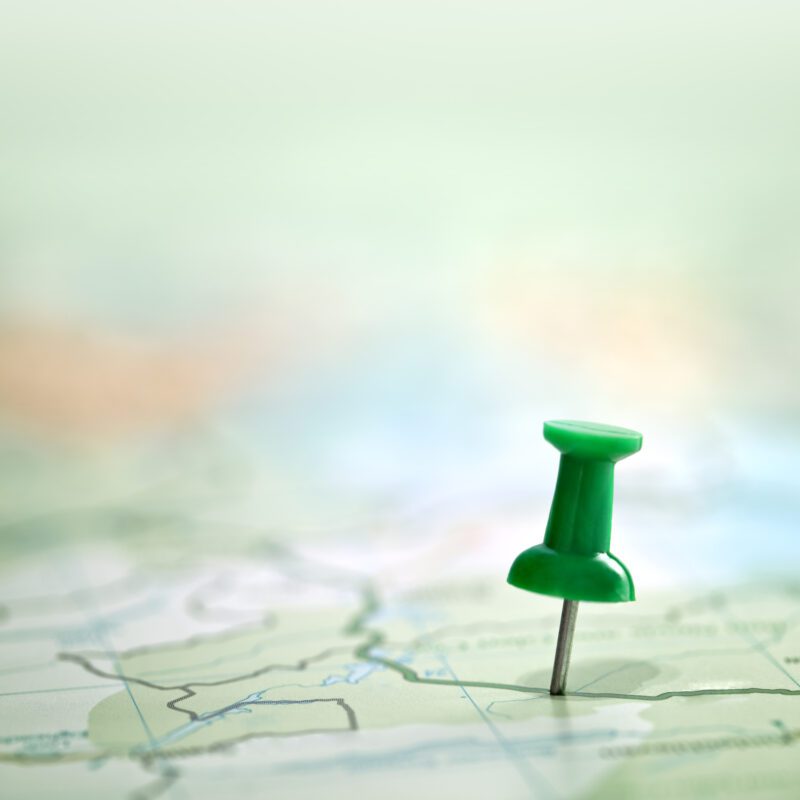
Geotagging describes the assignment of geographical coordinates in photographic recordings , for example the location of the recording can be assigned. This makes it possible to find images related to specific locations.
Using GPS data in photos
Geotagging is primarily used in social networks to use coordinates to convey where the image was taken . This information can also be provided in the image description, but photo services can read the geodata and illustrate it on a map. When other users access this visualization, specific locations can be found using the stored data. This not only allows you to network with other photographers, but also helps you organize your own pictures, so you can create a photo album based on places you have traveled to.
Geotagging – So funktioniert´s

Digital images contain far more information than pure image data , and the EXIF area also contains technical information about taking the photo. For example, the exposure time, the camera and aperture used, as well as the date and time of the recording are all part of the EXIF data . In addition, further data can be specified in the IPTC area, keywords, author data, categorization and location of recording. Various options are available for linking the recording location and precise position data with image files .
A simple solution is to use GPS , the “Global Positioning System” can reveal exact locations using satellites and store them on the image. A GPS device records geo-coordinates, time and date , which are then assigned to the image. Later, the user can search specifically for an area and receive the stored images.
GPS data enables geotagging within image data . It is important that the camera is linked to a GPS receiver, which can already be integrated or can be retrofitted. The geodata can be linked to the image at the time it is taken , and this is also possible afterwards.
Application of GPS tagger
GPS loggers or taggers record the position data when taking images. A distinction is made here between different models.
Separate GPS-Logger
Cheap GPS taggers do not connect the GPS data directly to the images; this is done afterwards with appropriate software. These models subsequently synchronize the captured images with the recorded GPS data using software , so that the appropriate geotagging is created on the photograph using data loggers .
Direct GPS tags
When using direct taggers, the GPS data is immediately linked to the respective photo and saved as such. The device is mounted directly on the camera and the images do not need to be processed using software. However, this variant puts a lot of strain on the camera’s battery and is also expensive to purchase.
Attached taggers
These GPS taggers are attached to the camera and store the location data on the image file, they are attached to digital cameras using a hot shoe .
Geo-Imaging with the Smartphone
Geotagging is also only possible with a smartphone ; most modern cell phones are equipped with a GPS receiver , which is also used for navigation. The geotagging function can be easily implemented with your own cell phone and used in social networks. This function is particularly popular on Facebook or Instagram, so every contact can immediately see where the picture was taken .
Use of geotagging
Geotagging is not only useful for images in social networks; storing data on images is also used for other purposes.
tourism
This technique is also used for photo location and spatial planning ; illustrating a digital city map with monuments worth seeing is particularly common.
Environmental protection and environmental planning
Geotagging can be particularly useful in environmental and species protection , as plants can rarely be cataloged with their location . The documentation of plants visited and found is recorded using geotagging, and the relevant location data is then anchored in the image itself using geodata. The plant’s distribution area can then be visualized on a map, making it easy to display and track its population.
Transport area
The current location can be recorded on your smartphone when parking, including using photos. If you take a photo of the parking lot or the car, you can quickly find the location later using geotagging or navigate to the car using your cell phone. Many modern devices automatically save the coordinates of the images, which can be accessed at any time.
Disaster protection
Geotagging can improve disaster management and leverages the collective knowledge of people already on the ground. In this way, existing data in social networks can be used to map the disaster site, enabling quick and targeted help .
Use of geotagging in private areas

Internet platforms such as Google Maps make it possible to create entire albums or individual photos with GPS tracks on a map and share them with specific people or the entire world. The geoinformation of the location in the photos is important. Digital photos can not only be used to create physical photo books, but also a slide show in your own four walls, while at the same time the travel route can be traced on maps .
Images that have been geotagged help you find your exact location; this can be used for geocaching, for example.
Keyword search with geotagging
Location data, GPS coordinates or other information in photos can also be helpful offline. By locating the photos, images can be found more easily later. This makes it possible to quickly find individual images using keywords that have been stored in the photo. There is also special software that simplifies such cataloging and enables every hobby photographer to get an overview of their own images and the inventory administer.
Geotagging in Marketing
More and more companies are also taking advantage of how geotagging with coordinates works. If a business is found in a geotagging search engine, localized discounts and service offers can be communicated. Retailers benefit from displaying their own location on the Internet and can thus offer their services; their own website is therefore displayed even if it has not been appropriately optimized. Different items or a specific product can be marketed using geotagging.