The term satellite describes an astronomical object that orbits a celestial body, a planet or star. When these are created artificially to orbit the Earth, they are called Earth satellites . Geostationary satellites follow the Earth’s rotation, they move at an angular speed of approximately one revolution per day and are always above the same point on the Earth’s surface . They orbit the earth at an orbital speed of approximately 3.07 km/s. This applies, for example, to television satellites, weather satellites and also communications satellites. These artificial earth satellites were placed there to transmit a signal emitted from the earth to a receiver on the earth’s surface. Satellites are in a balance between the centrifugal force and the earth’s gravity in the satellite orbit .
The satellite and its different designs
Geostationary satellites are built in two types, spin-stabilized or three-axis stabilized, also called spin-stabilized . Geostationary satellites work almost self-sufficiently; they obtain the necessary energy from the attached solar cell paddles .
Spin-stabilized satellites
These satellites are drum-shaped and the body is covered with solar cells. The special shape allows the satellite to maintain a specific direction .
Swirl or three-axis stabilization
The cuboid design of the missile ensures that the front can be aligned with the earth, while the back points towards the zenith. Both sides are covered with solar cell wings .
Satellite shot
With the help of a launch vehicle, the earth satellite is brought into the geostationary transfer orbit and is then brought into the geostationary orbit by its own apogee motor. During this maneuver, most of the fuel is used up, so that when it reaches its final orbit , it only has half of its original mass . The remaining fuel can now be used to make corrections to the satellite’s position in orbit .
Geostationary Earth Orbit – orbit

The geostationary orbit of a satellite is influenced by various factors, including celestial bodies and planets such as stars, Earth, Moon and the Sun. There are only two reliable locations for positioning a geostationary satellite; the others are unstable and require regular corrections. Constant corrections cost performance and shorten the lifespan of the satellite. When a satellite falls out of its orbit and can no longer be controlled, it drifts to one of the unstable points, where more than 160 satellites already gather.
Disturbances in the orbit also cause changes in the inclination of the orbit; these must be corrected regularly, otherwise they will continue to increase. Corrections in the north-south direction require far more power than shifts in the orbit along the equator . Satellite positions are assigned by the International Telecommunications Union to avoid interference between satellites. Due to the high number of active Earth satellites, the specified distance has been reduced and is now 1,400 kilometers.
The assigned position can be referred to as a box, within which the satellite must be placed. Additionally, it is possible to place multiple satellites within this location, this is known as co-positioning and is possible for up to eight satellites.
Flight altitude and its calculation
In order to enable constant movement of the satellite, it must continuously accelerate towards the center of the Earth . This force for the airspeed is taken from the gravitational interaction. The calculation of the height is based on the orbit radius and the radius of the Earth at the equator.
Satellite visibility
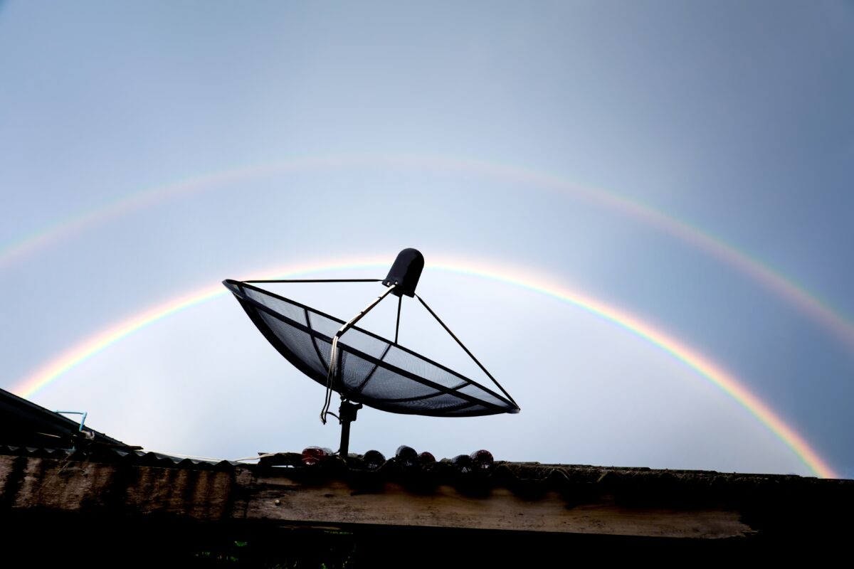
Geostationary satellites do not move as seen from the Earth; ideally, they are always above the same point on the Earth’s surface. In order to receive or transmit a signal, observers on earth must have a clear view; inside buildings or garages, reception is poor or only distorted.
footprint
The coverage zone of a satellite describes the area that it covers on the Earth’s surface . The smaller the opening angle and the lower the geostationary orbit, the smaller the area irradiated by the satellite.
Use of geostationary satellites
Geostationary satellites are used , among other things, for communication and weather reporting . They provide reliable information and transmit data via signals.
Weather satellites
Geostationary weather satellites are also known as earth observation satellites ; they observe meteorological processes and pass this information on to receiving stations on Earth. With a weather satellite, chemical and physical processes within the earth’s atmosphere can be monitored; by evaluating this data, weather forecasts can be created and the laws of the general climate can be researched.
The communications satellite
Communications satellites are in orbit solely for the purpose of communicating with Earth. This includes all media, such as television and telephone . The radio signal is also transmitted to the corresponding devices via a satellite.
Satellite phones
Satellite telephony offers the user the opportunity to make phone calls and send text messages even without a mobile network. These phones are significantly more expensive than traditional smartphones, but are essential in areas without a network connection. They are mainly used on expeditions and on the high seas. They offer additional security within remote areas and enable constant communication; depending on the model, the user can even access the Internet and write emails.
Communications satellites
Thanks to integrated transponders, modern satellites can send their information directly to the consumer. They are used to quickly transmit important data worldwide.
GPS-System
The GPS system, global positioning system , also works with geostationary satellites . It enables worldwide location and can be used in a variety of ways. The satellites of this system orbit the earth and send out a signal at constant intervals, which can be received and evaluated by a GPS device on earth. Using the time required for this transmission and the distance to the geostationary satellite, the device can then determine its own position and speed.
Using the GPS system

GPS systems are used in many products, the most well-known is probably the navigation system for orientation and wayfinding, in the car, by bike or on hikes. The geostationary satellites of this system orbit the earth and can be received and evaluated anywhere on the globe under ideal conditions. GPS trackers therefore offer the possibility of searching for objects and people if they are carrying the device with them.
In addition, these gadgets can be used to secure vehicles and high-value items, they play a major role in theft protection and help track stolen goods. The signal from a single satellite is not sufficient for location; at least four clear signals must be received to ensure an accurate calculation. The signals from these satellites can also be influenced by other factors, such as thick walls or dense forests. A geostationary satellite cannot transmit a clear signal; it becomes mirrored or unclear, which leads to incorrect positioning data and affects positioning.
Due to this technology , a GPS product offers additional functions, depending on the model and manufacturer. It is possible to limit certain areas or set alarms when speeds or limits are exceeded. This data is calculated from the tracker’s position based on satellite data .
All weather and intelligence services rely on data from geostationary satellites in their orbits and work with the information received.