Satellite-based navigation systems are used in many areas, including for measuring or staking out certain areas. Systems such as GPS, GLONASS, Galileo or Beidou are used here.
In order to determine the position coordinates as precisely as possible, real-time kinematics is used, known in English as real time kinematics, or RTK for short .
Functionality and position accuracy of real-time kinematics
Horizontally, measurements can be achieved with an accuracy of one to two centimeters; the coordinates are then calculated in real time.
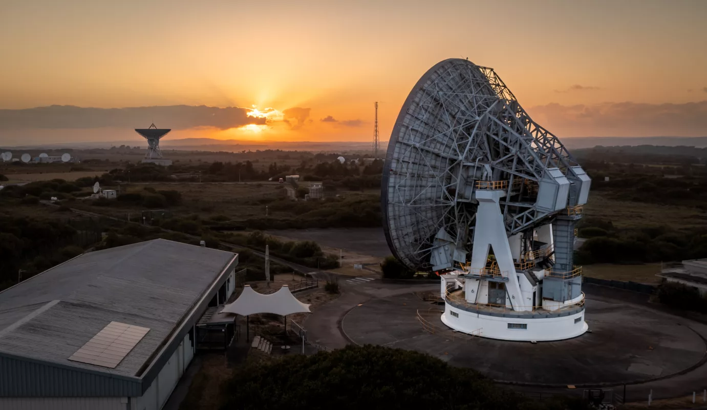
For this purpose, GNSS satellite signals are used that work with geodetic receivers. An important prerequisite is undisturbed reception of satellite signals; in order to calculate the data precisely, a signal from at least five satellites is necessary. For a simple RTK setup, two GNSS receivers are required, the first receiver is considered the base , a reference station with a known location. Based on these coordinates, it determines the deviations from the satellite data and ensures that the correction data is transmitted .
The second receiving device for GNSS is called a rover and its position is determined by the correction data . This data is determined using calculations and transmitted to the reference station .
The base station should be a maximum of 10 kilometers from the reference stations if this construction is temporary. With permanent reference stations, RTK is no longer possible at a distance of more than 20 kilometers.
To avoid these distances, the network RTK method can be used. Calculations based on reference stations that are 50 to 100 kilometers apart can be simulated as many virtual reference stations as desired. Using network RTK , a comprehensive range of correction data is possible; these RTK solutions are offered by private companies and the surveying administrations of the federal states .
The correction data is sent to the rover via radio , at least for temporary stations. The correction data from a network RTK is primarily transmitted via the Internet; in rare cases the GSM network is used.

Correction concepts and RTK correction transmission protocols
In the first step, the data collections from a network RTK are transferred to the central office for calculation. Two additional calculation steps can also be carried out in the rover : the VRS calculation and the correction model calculation . This allows three different formats for correcting data:
Area correction parameter concept (FKP) : The users in the measuring area only need the data that the correction model determines. In theory it is possible for the user to select his reference station himself, but in practice the proximity position is also provided here .
Virtual reference station concept: This method is primarily used because the rover’s computing load and the correction data rate are the lowest. The rover sends its proximity coordinates to the networking center, where they are calculated and transmitted back to the rover.
Master Auxiliary Concept (MAC) : MAC solves the ambiguities in the control center and transmits a maximum of correction data into the network.
Data streams from global satellite navigation are mainly distributed via the Internet; a standardized method is NTRIP , short for networked transport of RTSM via Internet protocol. If data is to be received via the RTK network, the NTRIP protocol is used.
Connection to GPS technology and navigation
Global navigation satellite systems such as GPS or Galileo also rely on satellite signals to determine specific positions. For this purpose, undisturbed reception of the signals is absolutely necessary. In contrast to the RTK solution, navigation systems such as GPS are not used directly for surveys, they are mainly used to enable navigation. To do this, the user needs a GPS receiver and a connected device on which he can set the desired parameters and receive the required data. Receiving signals from at least four satellites is necessary to enable positioning to within a few meters. GPS is used to enable navigation, but this technology can also be used to monitor vehicles and valuables.